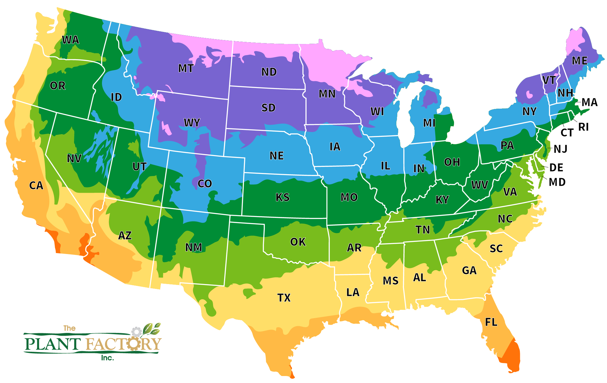
Zone Map

Find Your Grow Zone

What is the Plant Hardiness Zone Map?
The United States Department of Agriculture (USDA) developed the Plant Hardiness Zone Map system to help gardeners and growers choose plants that are likely to thrive in their local climate.
The system divides the United States and other countries into multiple zones, each representing a 10-degree Fahrenheit range of average annual minimum temperatures. These zones are numbered from 1 to 13, with Zone 1 being the coldest and Zone 13 the warmest. Each zone is further divided into “a” and “b” subzones, which represent 5-degree Fahrenheit increments within the larger 10-degree range.
By using the USDA Plant Hardiness Zones, gardeners can select plants that are better suited to their region’s climate conditions. This information is particularly important for determining whether a specific plant species can survive the winter temperatures of a particular area. It helps ensure that plants have a higher chance of thriving and surviving in their intended environment, leading to more successful gardening and landscaping efforts.
